We have just reached Fort Augustus in the Great Glen, 13 days and 259 miles into our end to end walk of Great Britain, and I think it would be fair to say this is some of the hardest hiking that we've done. Yes the Pyrenees had a lot of ascent and descent, and the Pacific Crest Trail could be incredibly hot, but for sheer cross country slogging, tricky navigation and camping in challenging conditions (wind, rain, miles of bog and rough terrain), this route has definitely provided some tough new challenges.
So now we're in Fort Augustus. Time to do our laundry, dry out our camping gear, get showered, check for ticks, and stock up on food. And take a half day rest. Phew ...
 |
| Steep path out of Inverlael |
 |
| Tanya with An Teallach in the background |
 |
| An Teallach, Assynt |
 |
| Neil on Bealach na Croise |
 |
| Sunset near Loch Fada |
 |
| Neil lost in hill fog - not sure where |
 |
| Top end of Glen Affric |
 |
| Descent down to Loch Poulary |
 |
| Near Cluanie |
 |
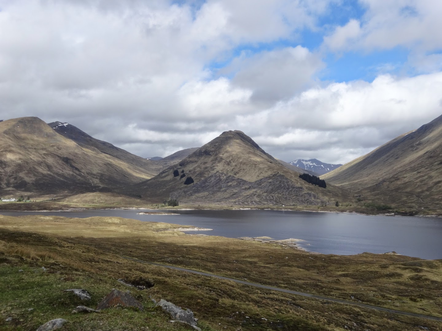
| Loch Loyne |


Awesome, you must be halfway on your two-island trek by now. I will saddle up shanks pony in a few days myself, for season two of my thru-hike of the Alps. Keep on pounding out those miles! King Knutella
ReplyDeleteYou are making very good time. I'm starting to recognise places now. Clunie inn at the top of Glen Shiel, Loch Loyne. I know you are on a timetable, but was it not hard to pass An tealllach on so clear a day and not go up to it? That would have killed me...It was very foggy and windy when I was on it, but still has to be a top 5 mtn. Hope the weather is kind to you...
ReplyDeleteLovely photos. What a cool sky over Loch Fada.